http://woodshole.er.usgs.gov/pubs/of2007-1012/html/figures.html
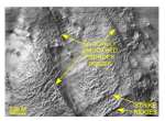
This Digital Terrain Model (DTM) uses sonar technology. I selected this map for the blog because it looks like a Digital Elevation Model (DEM). The DEM uses a different technology with a similar concept; using the reflection of concentrated beams to detect features on a far away surface.

No comments:
Post a Comment